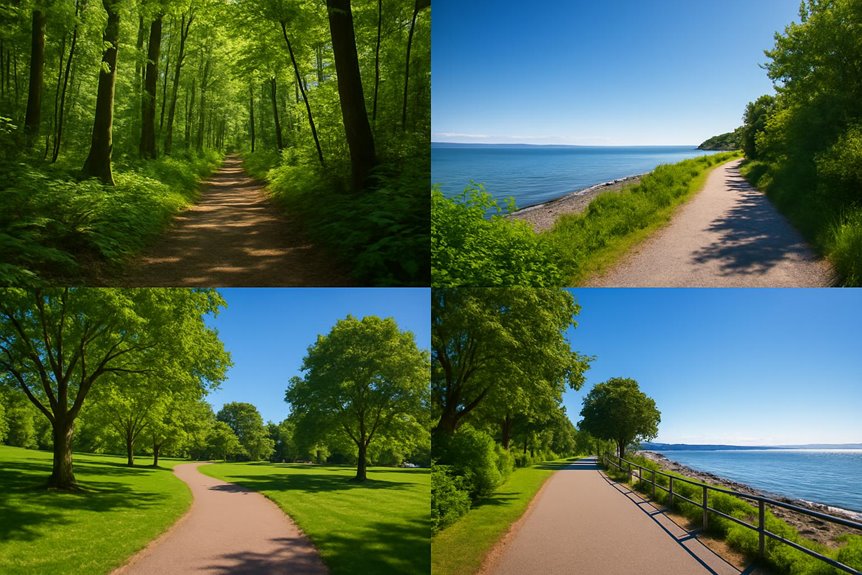
Outdoor Fitness on Scenic Trails: Best White Rock BC Outdoor Jogging Paths
Looking to sharpen your outdoor fitness routine? The best White Rock BC outdoor jogging paths span everything from flat seaside pavement to quiet forest tracks, giving the local White Rock jogging community year-round options. Begin with the 3.8-mile Promenade for sweeping ocean views, switch to the gentle 1.5-mile Centennial Park loop on recovery days, and add the 2.5-mile Little Campbell River Pathway when you want greenery and birdsong. Runners after hill work can head to Sea to Sea’s punchy climbs, while mixed-surface fans benefit from Blackie Spit’s blend of sand and grass. These scenic trails keep training fresh at any pace or experience level.
White Rock Promenade and Pier Trail

White Rock’s signature run ties the 470-metre pier to the 2.6-mile / 4.2 km promenade for an easy coastal out-and-back with only 22 metres of ascent. The pier, rebuilt after the 2018 storm, reopened in July 2019 and still carries the “Canada’s longest pier” sign. Upgrades left a smooth deck surface; board gaps sit under 13 mm, so regular road shoes work fine. AllTrails lists the paved shoreline segment at 2.6 miles and rates it “easy”.
- Parking – Pay-stations along Marine Drive (CA $4.75 h Mar–Oct; CA $2.50 h Nov–Feb)
- Surface – Concrete sea wall, wood planks on the pier
- Facilities – Toilets at Bayview Park, Memorial Park, and Finlay Street; water fountains beside the playground
Centennial Park Running Loop

Centennial Park Running Loop
Centennial Park offers a flood-lit 400-metre rubberized track plus a garden loop (900 m) that feeds directly into Ruth Johnson Park’s dirt trail to Marine Drive, forming a 1.4-mile / 2.3 km figure-eight circuit. Elevation gain stays under 35 metres, enough to nudge heart rates without spoiling form. Post-dusk lighting runs until 22:00 from April to September, ideal for after-work repeats. Toilets, changing rooms, and bottle fillers flank the arena building.
Integrate this loop when speed work is scheduled: use the track for 400 m repeats, jog the garden path to recover, then tackle the forest descent for proprioception training before climbing back to the start.
Little Campbell River Pathway
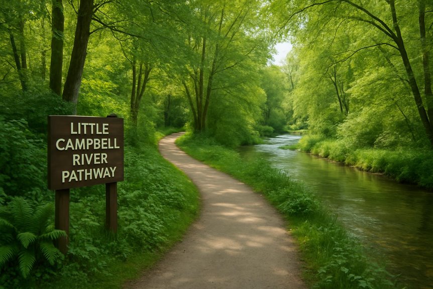
A crushed-gravel trail traces the Little Campbell River for 2.5 miles / 4 km. Entry lies beside the Semiahmoo Fish & Game Club off 16 Avenue; parking bays sit metres from the gate. Club documents show a near-level grade throughout, with the lower forest loop measuring 650 m for stride drills. Salmon spawn here each autumn, and kingfishers dart over shallow riffles—natural pacing markers when you plan negative splits.
Because this corridor shelters beneath second-growth cedar, the path drains quickly after rain, making it a dependable choice when other routes sit waterlogged.
Blackie Spit Nature Path
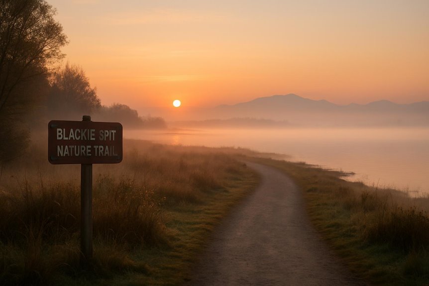
Blackie Spit Park lies three kilometres north-east of White Rock but remains the closest mixed-terrain loop with uninterrupted Boundary Bay views. AllTrails clocks the dike path at 2 miles / 3.2 km. The City of Surrey notes a longer 5 km variant if you add the sand-spit spur. Surfaces alternate between compact sand, crushed shell, and firm grass; use it to strengthen ankles and calves. Dogs must stay leashed from March to September to protect nesting shorebirds—build that into tempo targets to avoid sudden leash stops.
Sunnyside Acres Urban Forest
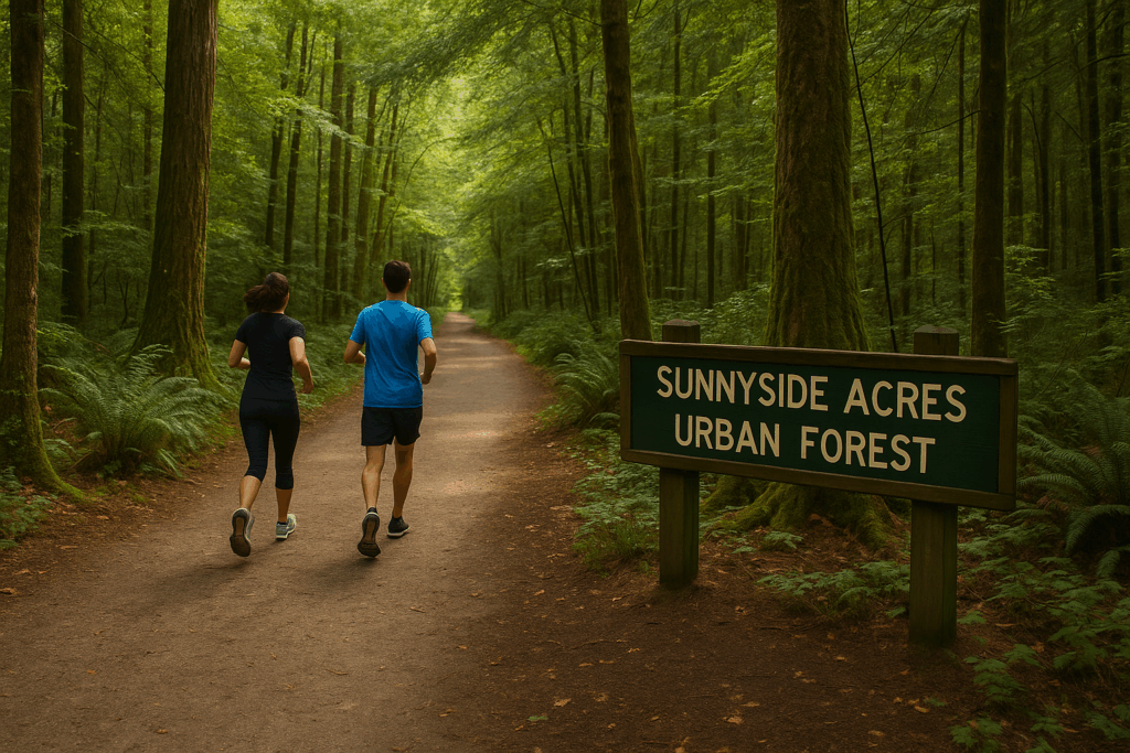
South Surrey’s 130-hectare urban forest hides ten kilometres of rolling single-track within five minutes of downtown White Rock. The Wally Ross universal-access path (726 m) provides a flat warm-up before peeling onto Moss or Chickadee Loops for up to 2.5 miles / 4 km of soft soil. Moderate gradients (≈30 m gain) sharpen climbing strength without the stair-step intensity of Ruth Johnson, and dense fir canopy blocks mid-day sun—a welcome option when the shore path bakes.
Ruth Johnson forest staircase
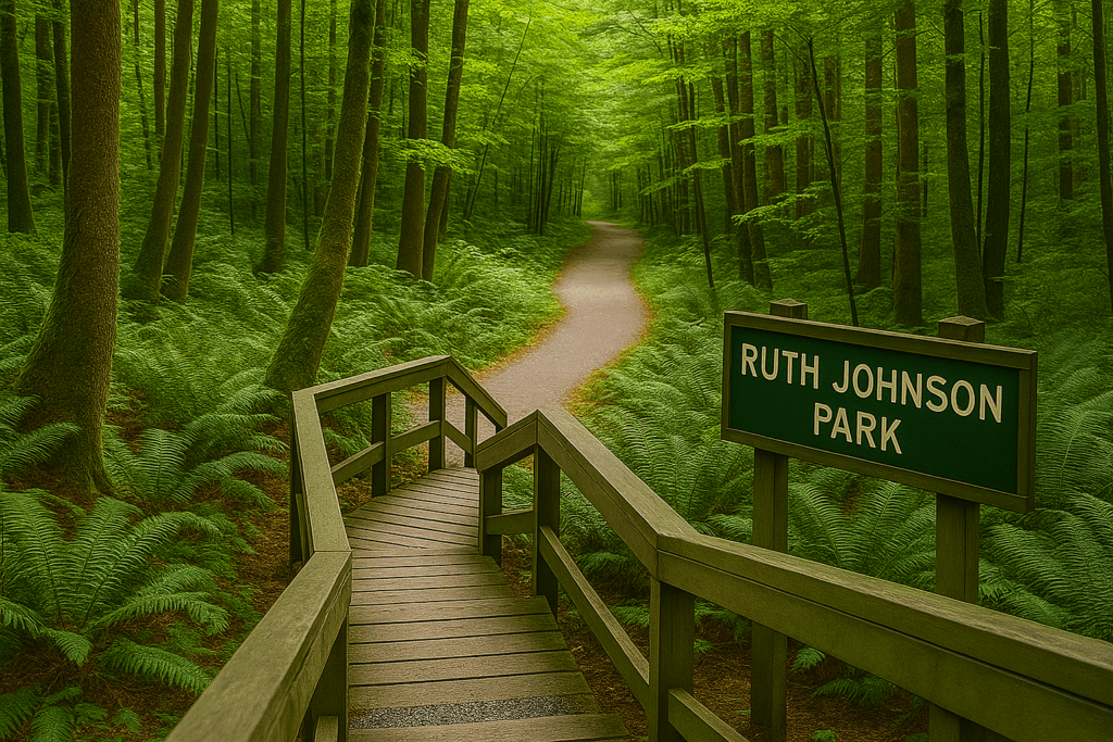
The hillside track between North Bluff Road and Marine Drive gains 60 metres in 700 m, mixing wooden treads with packed soil switchbacks. It works perfectly for hill repeats: climb hard from the beach, descend under control, then roll east on the promenade for active recovery. Both ends connect to pay parking, and mid-section benches double as step-up stations for body-weight strength blocks—useful if you blend outdoor fitness drills into long runs.
Outdoor Fitness on Scenic Trails: White Rock Jogging Routes at a Glance
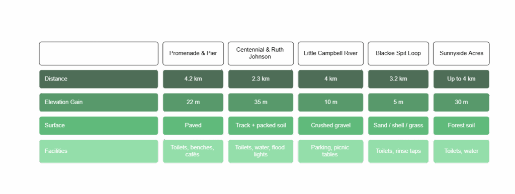
Explore five local routes in White Rock to vary your pace and terrain. The 4.2 km Promenade & Pier offers café stops and sea views. Centennial Park and Ruth Johnson feature a 2.3 km figure-eight with track and wooded paths. For softer footing, the Little Campbell River greenway provides 4 km of crushed gravel, while the flat Blackie Spit Loop runs 3.2 km on packed sand. Sunnyside Acres offers a shaded 4 km forest trail with a gentle 30 m ascent and water taps at the playground.
All listed venues fall inside White Rock or within a five-kilometre buffer, allowing runners to vary weekly mileage while staying close to the city’s core amenities.
Questions Often Asked
Where to Run in White Rock?
Where to Run in White Rock?
We’ve found White Rock’s best running spots through our regular morning routes. The pier run works perfectly for your easier training days, while the Wander trail will push your limits when you’re ready for a challenge. The beach path remains our favourite—it’s where we’ve connected with fellow runners and built lasting friendships.
How Long Is the Walking Trail at White Rock Lake?
The walking trail at White Rock Lake is exactly 4.37 miles long.
We’ve walked this route many times and measured it carefully. The distance works perfectly for our regular morning walks, giving you just over four miles of scenic lakeside exercise. Whether you’re planning a quick jog or a leisurely stroll, you’ll find this loop offers the right amount of distance for most fitness levels.

